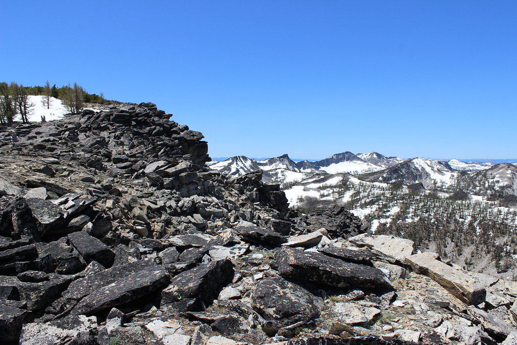
Looking for a hike with some elevation and rocky terrain to prepare for an upcoming ultramarathon, I found myself atop 9,108-foot Ward Mountain last month, the ridges of the Bitterroot Range lining up into the distance to the north and south.
About 4 hours earlier, Jen, the dogs and I started up the trail where Roaring Lion Creek runs out of the mountains and into the valley southwest of Hamilton. The first 2 miles switchbacked west up through the forest and crossed a couple of grassy openings.
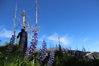
At 2.5 miles, the switchbacks steepened and entered an old burn where lupine bloomed and we got our first views of the valley floor. Another 1.25 miles up, I stepped onto a boulder field along the trail to take in the view of the ridges rising to the north over Roaring Lion and Sawtooth creeks.
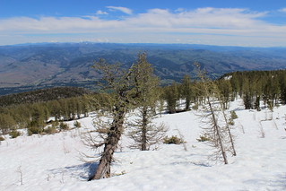
The switchbacks re-entered the forest and continued up the mountain until we reached Judd Creek at about 5 miles. After the dogs lapped up some water, we crossed the creek and stepped onto snow.
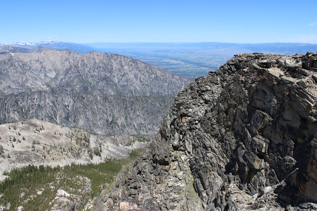
As the trail disappeared, we followed other hikers’ footsteps uphill for the next mile, the trees becoming more sparse. Eventually, we stepped off the snow and onto rocks at a cliff overlooking Roaring Lion Creek.
While Jen and Gus waited there among blooming cushion plants, Josey and I continued up the edge of the cliff to the top of the mountain, 6.3 miles and 4,800 feet above for the start.
After taking in views up and down the valley, and west into the Selway-Bitterroot Wilderness, we rejoined Jen and Gus. Back together, we descended to the trailhead quickly, getting in some glissading and running.
Here are more photos from Ward Mountain.
Distance: About 12.6 miles round trip.
Trailhead: The Ward Mountain trailhead is 4 miles south of Hamilton on U.S. Highway 93 and 2.5 miles west on Roaring Lion Road. Park at the Sawtooth Creek trailhead on the north side of the road; the Ward Mountain trailhead is on the south side of the road.
