In early June – on the first 90-degree day of the year – we decided to take the dogs on a short hike to cool off at Glen Lake, in the Bitterroot Mountains west of Victor.
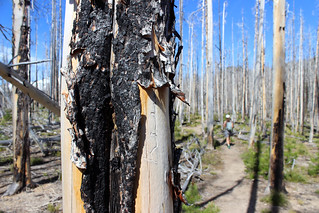
The last time I hiked there was before a wildfire burned the area in 2006, and I remember it being fairly forested with few views out.
What a difference a decade makes.
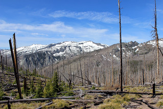
Today, the forest is mostly bare, gray snags, but the views extend north and south along the Bitterroots, and across the valley east to the Sapphire Range.
From the trailhead, we hiked gradually uphill to the northwest along the edge of the Selway-Bitterroot Wilderness. A couple of quickly drying creeks provided water for the dogs.
After about 1.3 miles, we reached a small snowfield at a saddle and crossed the wilderness boundary. From there, the trail dropped slightly to another saddle, turned west and started up a snowy ridge at about 2 miles.
From my previous hike, I remember trying to go through the trees slightly to get a view of St. Mary Peak across the drainage to the north, which proved difficult. Today, the lookout tower at the top the mountain is clearly visible.
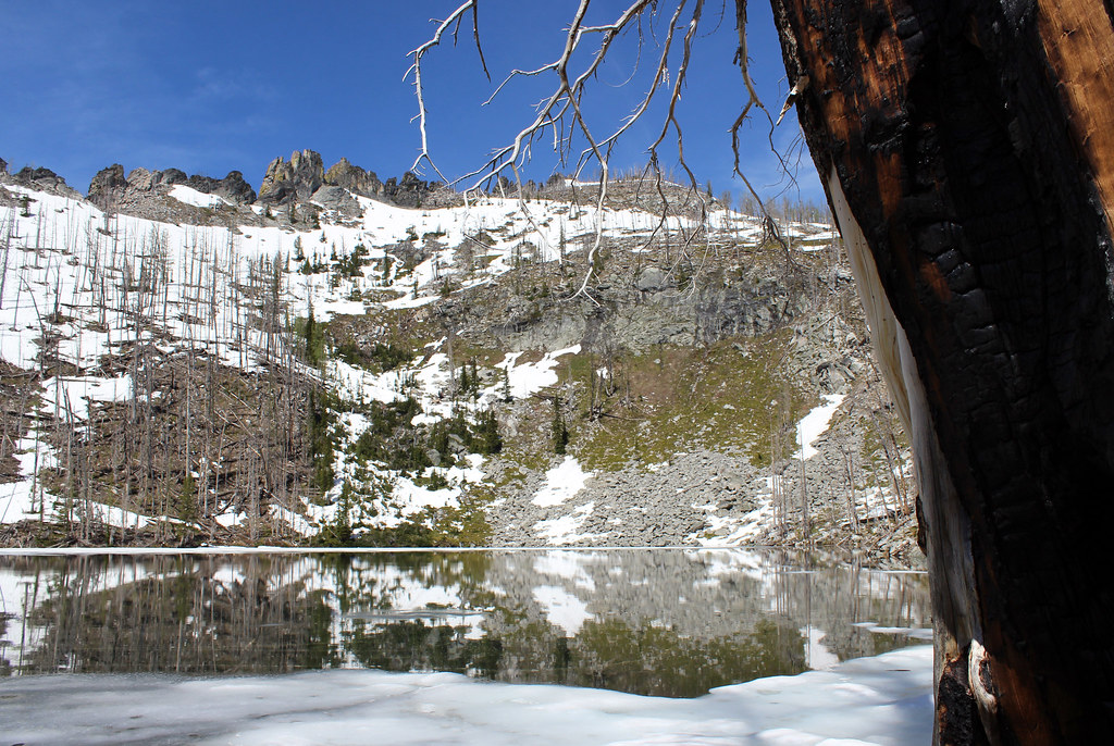
After the trail reached its high point, we rounded a corner to the southwest and dropped slightly again to the lake at about 2.75 miles.
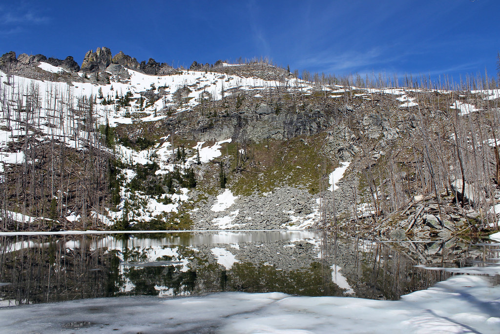
Sitting in a rocky basin at about 7,500 feet, the lake was still mostly ringed by snow, providing a cold swim for the dogs – and for me after a short glissade down a slope.
After cooling off and eating a little, we backtracked out of the wilderness and returned to the hot valley below.
Here are more photos from Glen Lake.
Distance: About 5.5 miles round trip.
Trailhead: From U.S. Highway 93 between Stevensville and Victor, turn west on Bell Crossing and drive half a mile. At the Curlew Orchard Road/Meridian Road intersection, turn north and continue on Curlew Orchard for 1.3 miles. Turn northwest on Curlew Mine Road and drive about 1.7 miles. At the intersection with Forest Road 1321, turn south and continue about 8 switchbacking miles up the mountain to the trailhead.
