Searching for a new place to hike with our dogs on Memorial Day, we were led up Palisade Mountain east of Corvallis by an online guide.
“A surprising gem in the Sapphires,” the description on the Montana Wilderness Association’s Hike Wild Montana website states.
Indeed.
I’ve always thought of the forested summits of the Sapphire Mountains as being less interesting than the granite canyons and peaks of the Bitterroots across the valley to the west. But the Willlow Creek and Palisade trails have changed my perspective.
From the undeveloped trailhead, we started east up a wide trail through the trees on the north side of the creek. After crossing a couple of tributaries, we arrived at a break in the woods at about 1 mile, with rocky outcroppings above offering a preview of what was to come.
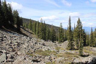
At about 2 miles, the trail began to climb steep switchbacks through dense forest. A few feet through the trees to the south, boulder fields looked back east to the Bitteroots.

We reached snow on the last switchback, then crossed a creek at 2.5 miles and stepped out of the forest at the foot of rocky spires. Re-entering the trees, we continued up through the snow aided by a topographic map on my iPhone.
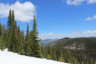
As we hiked higher, the forest grew thinner and wildflowers bloomed from melted patches in the snow.
At about 4 miles, we reached a saddle where the Willow Creek Trail joined the Palisade Trail. There, we turned northwest and continued out the ridge on firm snowpack, following blaze marks on trees and the topo map on my phone.
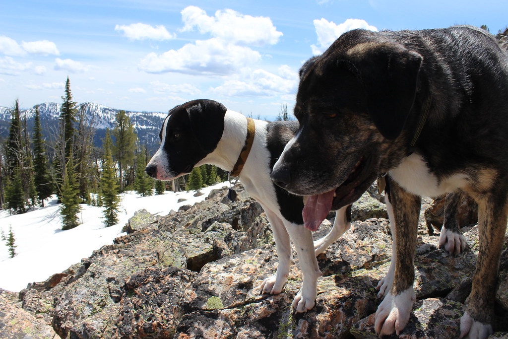
We exited the woods where boulders rose from the snow, then climbed to the 8,451-foot peak of Palisade Mountain at about 4.75 miles. While our older dog Josey had no trouble, the blocky rocks brought a few whines from puppy Gus and he stopped just short of the top.
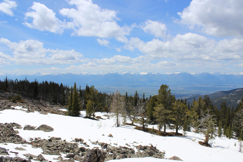
After taking in the views west to the Bitterroots, north and south along the Sapphires, and east to the Flint Creek and Anaconda ranges, we made our way back down through the snow and along the creek.
We arrived back at the trailhead, our SUV still the only one parked there and having seen no other hikers all day.
Here are more photos from Palisade Mountain.
Distance: About 9.5 miles round trip.
Trailhead: From its intersection with the Eastside Highway in Corvallis, follow Willow Creek Road 10.5 miles east to the undeveloped trailhead. At about 2.3 miles, Willow Creek Road turns south where Coal Pit Road continues east.
