A short May hike to Camas Lakes, southwest of Hamilton in the Bitterroot Mountains, highlighted the changing of the seasons: spring runoff and wildflowers, and the last of winter’s snow.
For the first mile, the trail climbed steadily to the north, crossing Hayes Creek at about a quarter mile then turning northwest at 1 mile and entering thicker forest. Along the way, purple and yellow violets dotted the edge of the path.
Nearly 2 miles up, the trail crossed an open outcrop that provided a brief view of the surrounding drainage and eastern ridge of Ward Mountain. Here, tufts of phlox could be found among the rocks.

About another third of a mile up, a broken log bridge crossed Camas Creek as it cascaded down through the forest. While our younger dog Josey followed us across, our older dog Belle forded the creek.
Across the water, the trail climbed two-thirds of a mile of switchbacks as the forest thinned, then the final half mile past patches of snow to the lowest of the three Camas Lakes.
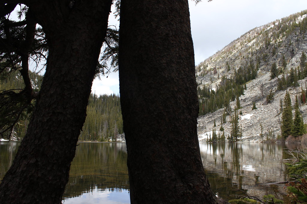
While it’s possible to round the lake and continue up the creek to the next two, we ate lunch on the shore then retreated to the trailhead when rain arrived.
Here are more photos from Camas Lakes.
Distance: About 7 miles round trip.
Trailhead: About 9.4 miles south of Hamilton on U.S. Highway 93, turn west on Lost Horse Road. Continue 2.4 miles, then turn northwest and follow Forest Road 496 about 6.1 miles to the trailhead.
